|
|
|
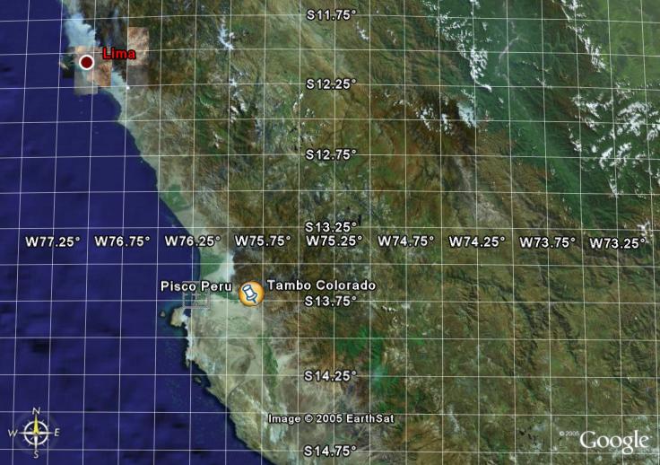
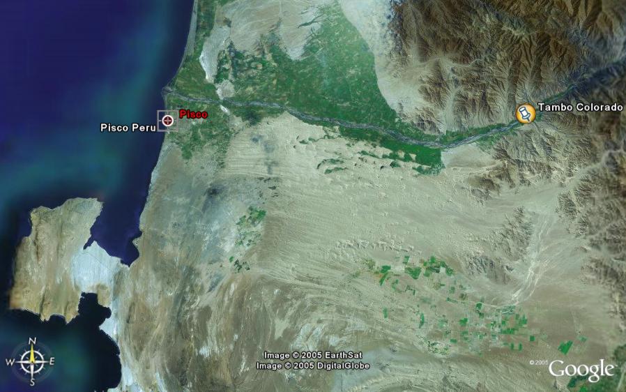
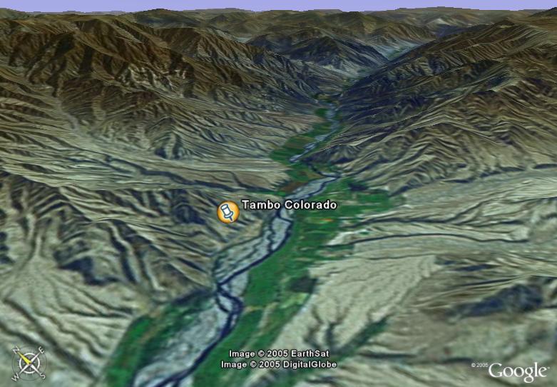
Google Earth is a powerful satellite image viewing system that can be obtained
free of charge from http://earth.google.com/
. With this software users can view satellite images covering
most of the world. High resolution images are available of the more
important cities. The rest of the world is mostly covered by
medium resolution images. |
|
Contents |