|
|
|
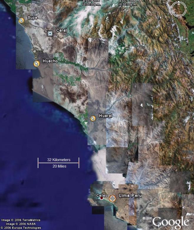
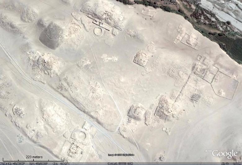
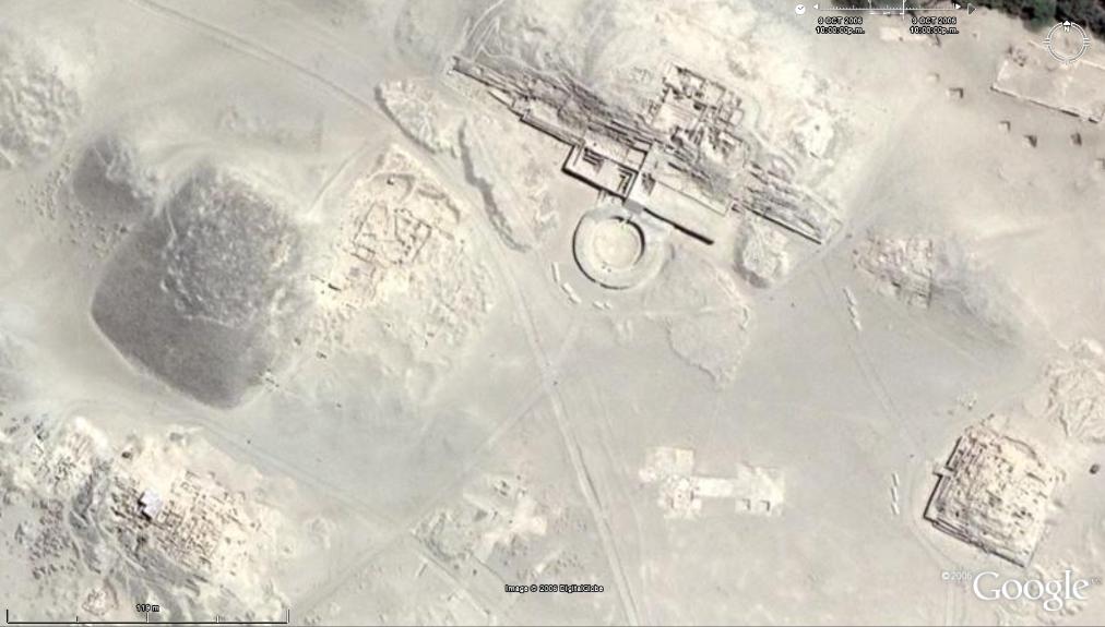
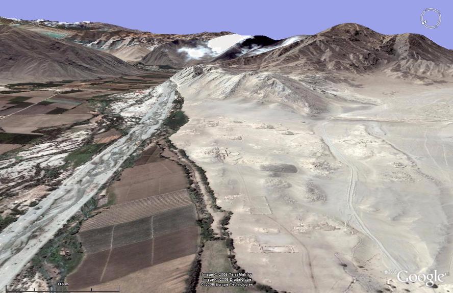
Google Earth is a powerful satellite image viewing system that can be obtained free of charge from http://earth.google.com/ . With this software users can view satellite images covering most of the world with medium resolution images (LandSat). High resolution images (QuickBird) are increasingly available in many regions, including remote places. The Caral-Supe region and its ruins have been covered by high resolution images perhaps due to its archaeological interest. |
|
Contents |