|
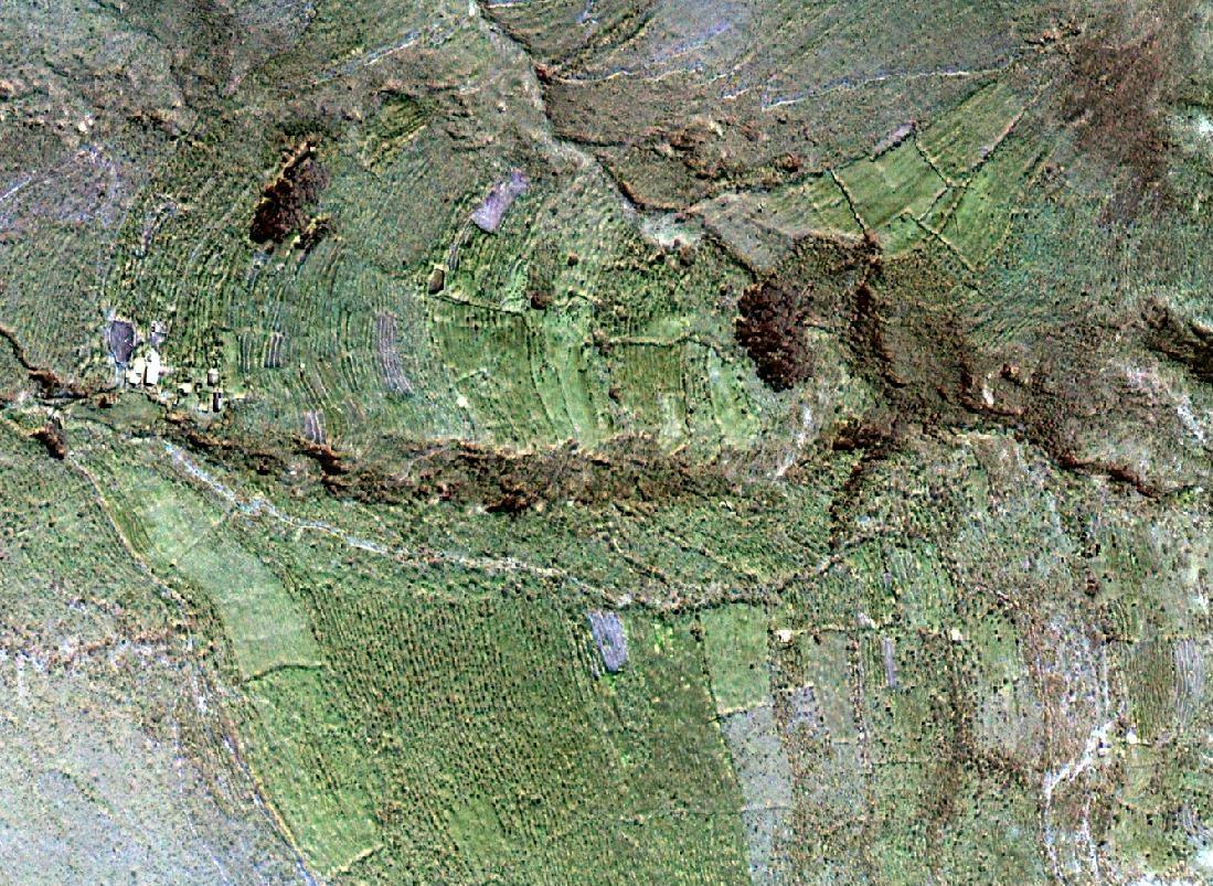
Imagen
satelital QuickBird de andenería en terrenos empinados en las alturas del
río Cañete a más o menos 3250 metros sobre el nivel del mar. Casas de
campesinos se notan al lado izquierdo de la imagen.
.
==> Haga click sobre la imagen para ampliarla.
.
.
QuickBird satellite image of agricultural
terraces in the Cañete river heights at approximately 10,000 feet above
sea level. Houses of the peasants can be seen at the left side of the
image.
.
==>
Click on image to enlarge.
.
Published by
permission from
ARPL Tecnología Industrial S.A.. Lima, Peru
Gentileza de ARPL Tecnología Industrial S.A. |
|
 |