|
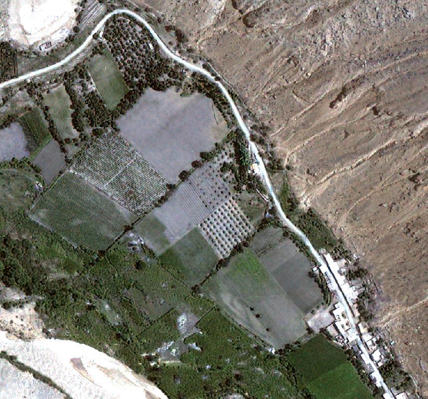
Imagen
satelital QuickBird de parcelas agrícolas y pequeño pueblo en la quebrada del
río Cañete a más o menos 1000 metros sobre el nivel del mar. El lecho del río se ve en color blanquecino en la esquina
inferior izquierda de la imagen.
.
==> Haga click sobre la imagen para ampliarla.
.
.
QuickBird satellite image of agricultural plots
and small town in gorge of the Cañete river at approximately 3000 feet
above sea level. The river bed is seen in
white color near the lower left corner of the image.
.
==>
Click on image to enlarge.
.
Published by
permission from
ARPL Tecnología Industrial S.A.. Lima, Peru
Gentileza de ARPL Tecnología Industrial S.A. |
|
 |